Integration of Earth Observation technologies for the Spanish forests conservation and management
Objectives
Retrieval of key forest variables
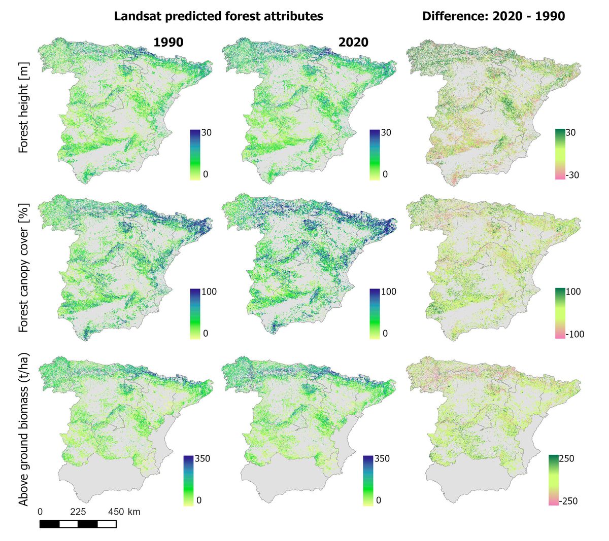
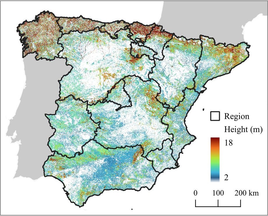
Generate a national database of forest canopy cover, canopy height and above-ground biomass at 30 m from the two PNOA ALS flights (2008–2015 and 2015–2020), then temporally upscale it to annual estimates using Landsat trajectory metrics, seasonal composites and radar data. Deep learning (U-Net) was tested against random forests and gradient boosting.
Spatial and temporal trends of forest structure
Assess forest disturbance and structural change across wide spatial and temporal scales: extent, fragmentation and aggregation metrics for disturbance patches, and the relative importance of climate, forest management and geographical drivers behind large (>100 ha) disturbances.
Data and product dissemination
Publish the findings, provide a viewer for on-the-fly visualisation and analysis of the maps and trends at different aggregation scales, and create an open repository for downloading both the pre-processed EO imagery and the derived forest variables.
Approach
Forest canopy cover, height percentiles and above-ground biomass computed at 30 m from a stratified random sample of the 2×2 km PNOA distribution tiles, independently per autonomous region.
LandTrendr trajectory metrics, seasonal surface-reflectance composites, radar backscatter and texture, topography and disturbance history as predictors.
Reference ALS tiles split into training, test and validation sets; accuracy assessed against completely independent lidar-derived data to test temporal inference, not only out-of-bag performance.
Wall-to-wall annual estimates of the target variables for peninsular Spain, plus disturbance regime and trend layers.
Results